
AAT Activity Tracker
Track hikes and rides on maps that work offline
Made by bailuk · free and open source
This download comes from F-Droid, a trusted library of free open-source apps. Need help installing?
What it looks like
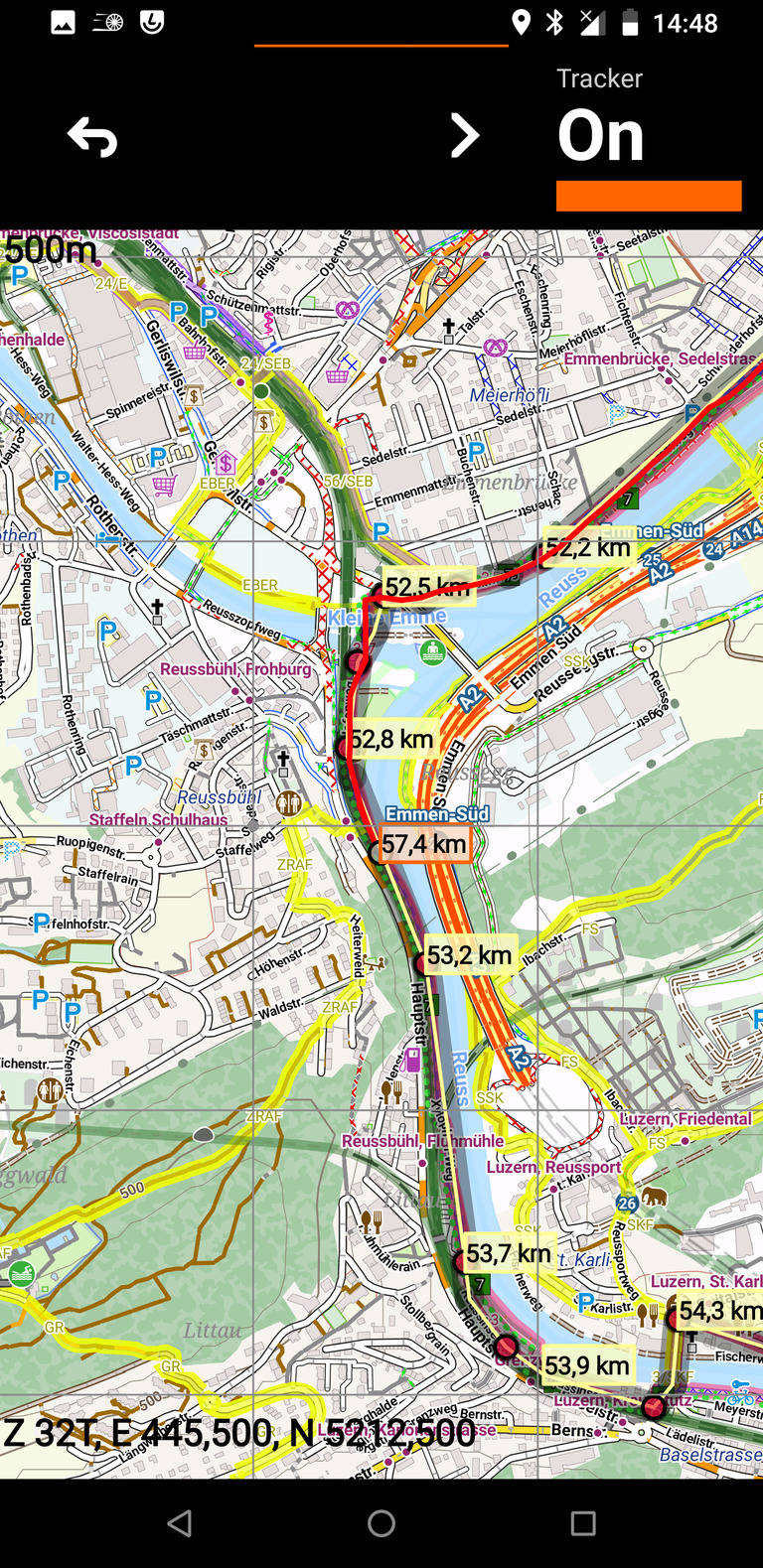
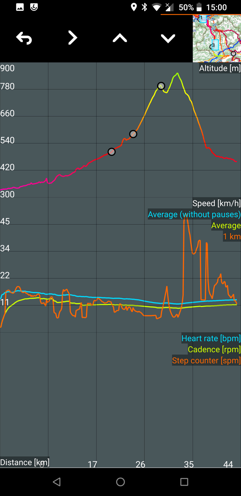
About this app
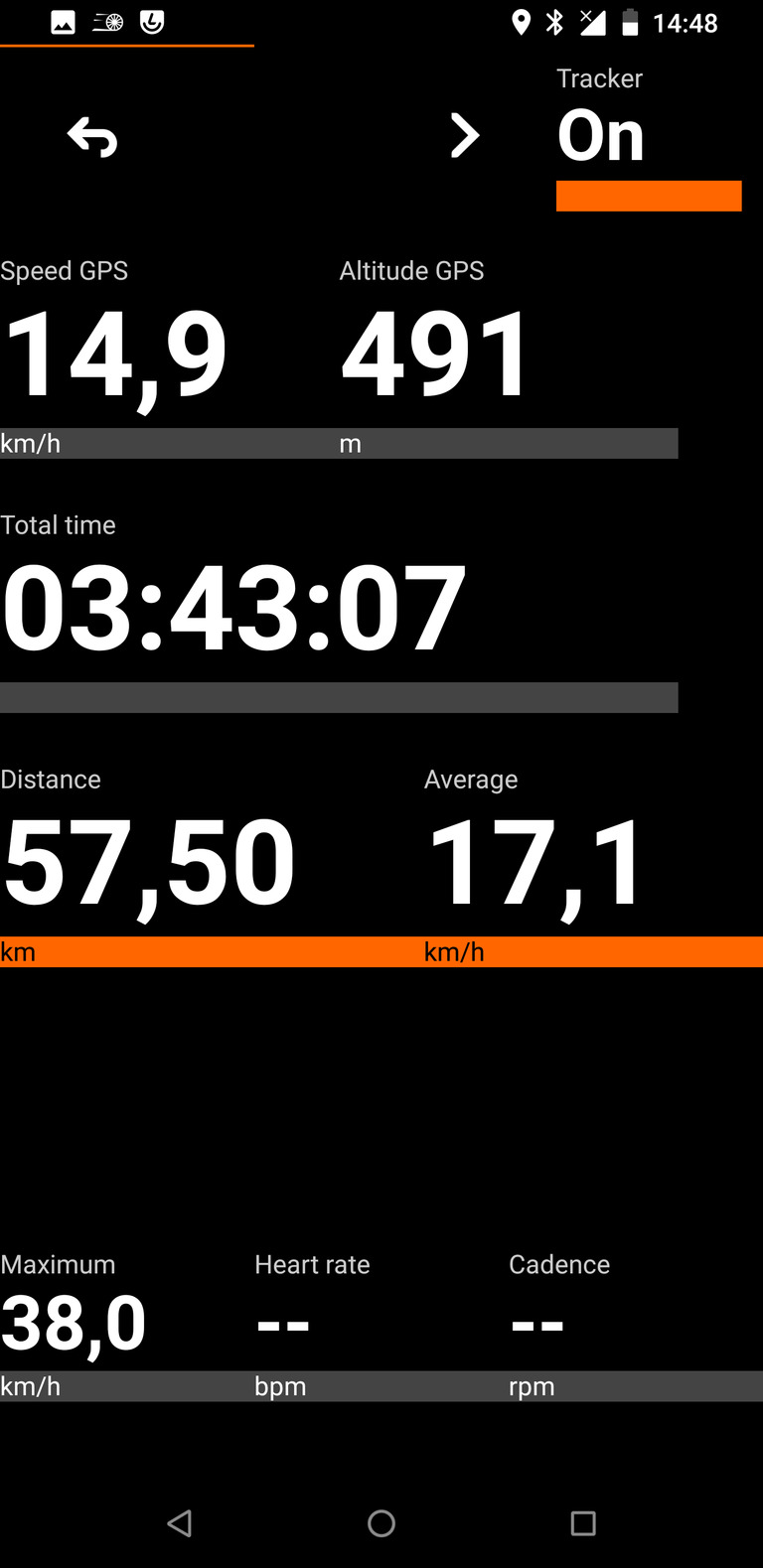
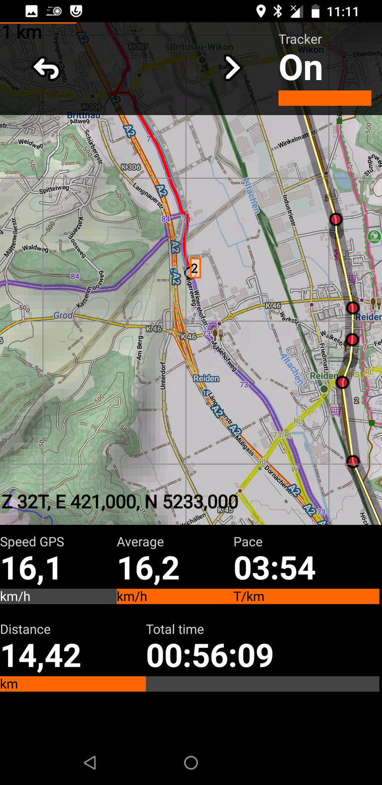
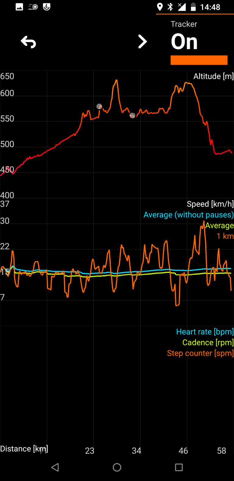
AAT records your outdoor activities (cycling above all, but hiking and walking too) and shows where you are on live cockpit and map screens as you move. Every track is saved as a plain GPX file, so you can open it in anything else later.
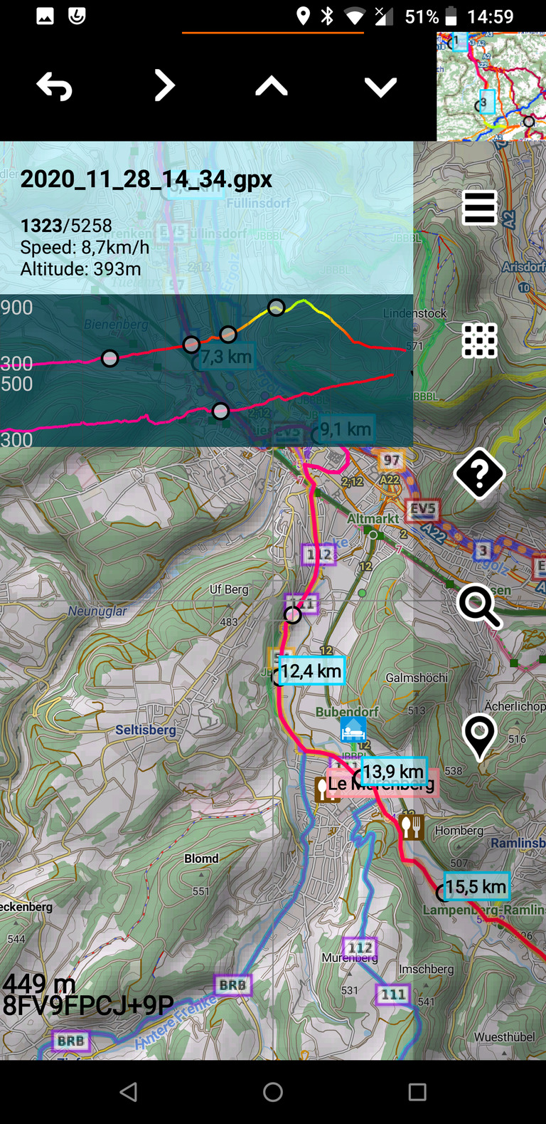
Maps work without a connection, using Mapsforge files or downloaded tiles, with overlays for waymarked cycling and hiking routes. It can show elevation from terrain data instead of trusting the GPS altitude, display offline points of interest, search places through OpenStreetMap, and read Bluetooth or built-in sensors. There is also a simple GPX editor for sketching a route before you set off.
The offline maps, terrain tiles and point-of-interest databases are separate downloads you fetch yourself.
From the app’s home page
- See the codeHow it’s made, every line is public
- WebsiteThe app’s own home page
- Questions & commentsTalk with the people who make it
- Report a problemTell the makers something is broken
- All versionsOlder downloads and what changed
- LicenseThe rules for using and sharing it
More like this
 OSMTracker
Record a GPS track with notes, photos and voice memos
OSMTracker
Record a GPS track with notes, photos and voice memos
 CoMaps
Offline maps and directions that keep your trips private
CoMaps
Offline maps and directions that keep your trips private
 GPS Logger
Record your walks, rides and flights
GPS Logger
Record your walks, rides and flights
 μlogger
Log your route and share it live from your own server
μlogger
Log your route and share it live from your own server
 PocketMaps
Download a country's map and navigate with no signal
PocketMaps
Download a country's map and navigate with no signal
 GeoNotes
Drop quick notes and photos on a map while you are out and about
GeoNotes
Drop quick notes and photos on a map while you are out and about